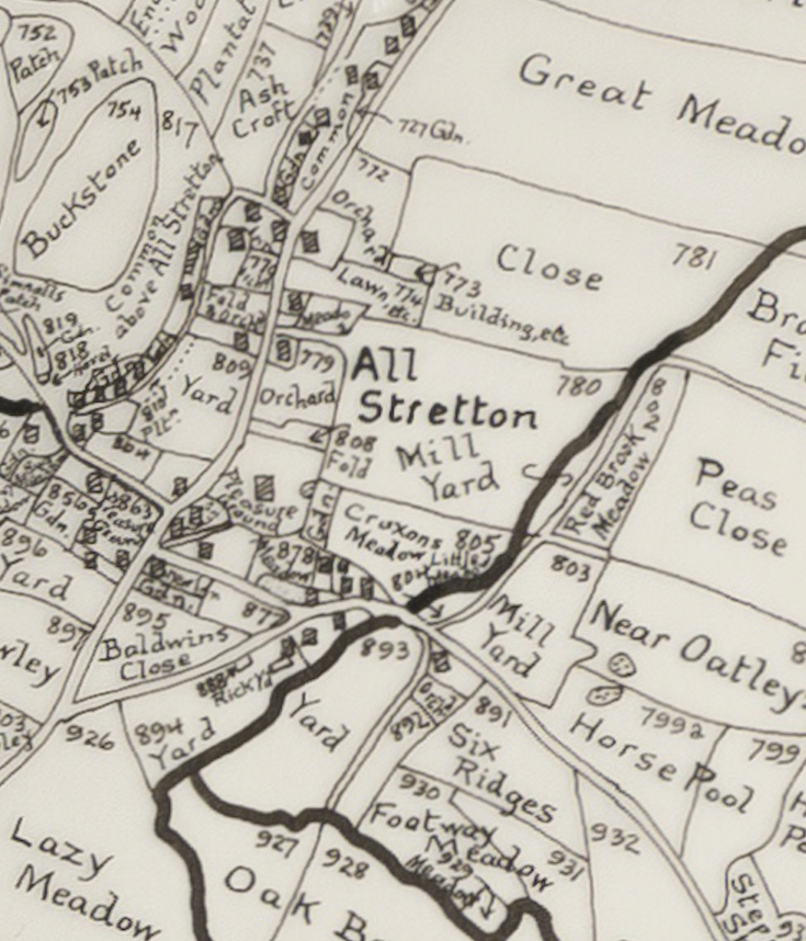
The Field Name Maps for Shropshire were created by H D G Foxall using the Tithe awards of 1840 estate surveys and OS maps, the field names have been written on maps showing each individual field shape and location.
This Map was purchased from Shropshire Archives where they have a collection covering all of Shropshire.
The List of Owners and Occupiers for each Field can be found in our Tithe Apportionment file.