The tithe records provide information about owners and occupiers of land in All Stretton (and Church Stretton) in 1840. Numbers on each parcel of land on the map relate to the apportionment which lists details of land owners and occupiers.
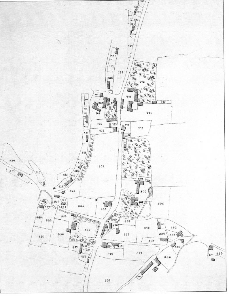
For a key to the above map see the Apportionment Details